Geography
Ancient explorations of the known world
2 works in the library
Geography in the ancient world was intimately bound up with history, ethnography, and the practical needs of empire. The Greeks, from the Ionian philosophers onward, speculated about the shape and extent of the earth, the causes of natural phenomena, and the customs of the peoples who inhabited distant lands. Herodotus' Histories are as much a work of geography and ethnography as of history, and the tradition of describing the known world — its lands, rivers, cities, and peoples — remained vital throughout antiquity.
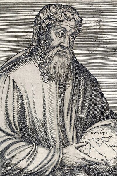
Strabo's Geography, composed under Augustus and Tiberius in seventeen books, is the most comprehensive surviving work of ancient geography. Writing in Greek, Strabo described the entire inhabited world from Spain to India, combining his own observations with data from earlier writers — Eratosthenes, Posidonius, Polybius — and from the reports of Roman military campaigns. His work is at once a physical geography, a political survey, and a cultural encyclopaedia, preserving information about regions and peoples that would otherwise be entirely lost.
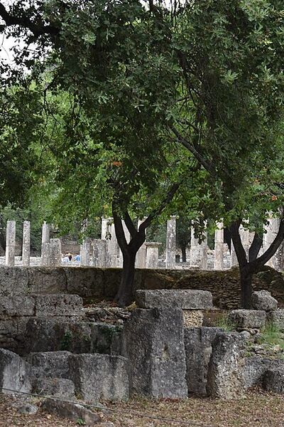
Pausanias' Description of Greece, written in the second century AD, is a different kind of geographical work — a traveller's guide to the monuments, temples, and legends of mainland Greece, organised region by region. His detailed accounts of buildings, statues, and paintings that have since been destroyed make him an indispensable source for the history of Greek art and religion. These geographical works remind us that for the ancients, knowing the world meant describing it in words — and that the literary description of places was itself a form of possession and understanding.